
Android Setup
This part of the manual shows how to use the LiteRTK with a third-party APP (SW MAPs) via Bluetooth/BT connection. This shows how to:
Instructions
Bluetooth connection1
Connect to the LiteRTK using Bluetooth
GNSS2
Obtain the GNSS Status
Sky plot3
Display the Sky plot
RTK Corrections4
Receive RTK corrections using SW MAPs embedded NTRIP client
GIS Features5
Record different points and GIS features. Currently, the Android version is the only one supported.
SW MAPs is a free APP based on Android. Please go to SW Maps Official Manual or Softwel Mobile Products for the official manual and tutorials. Turn on Android phone or device.
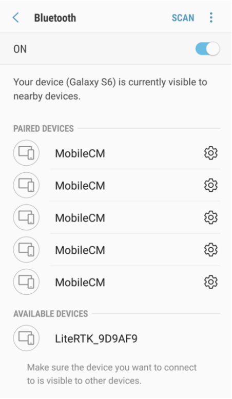
Connect to the LiteRTK in the Bluetooth settings of the device.
Example: In the screenshot LiteRTK_9D9AF9 is the device to connect to.